|
||
|
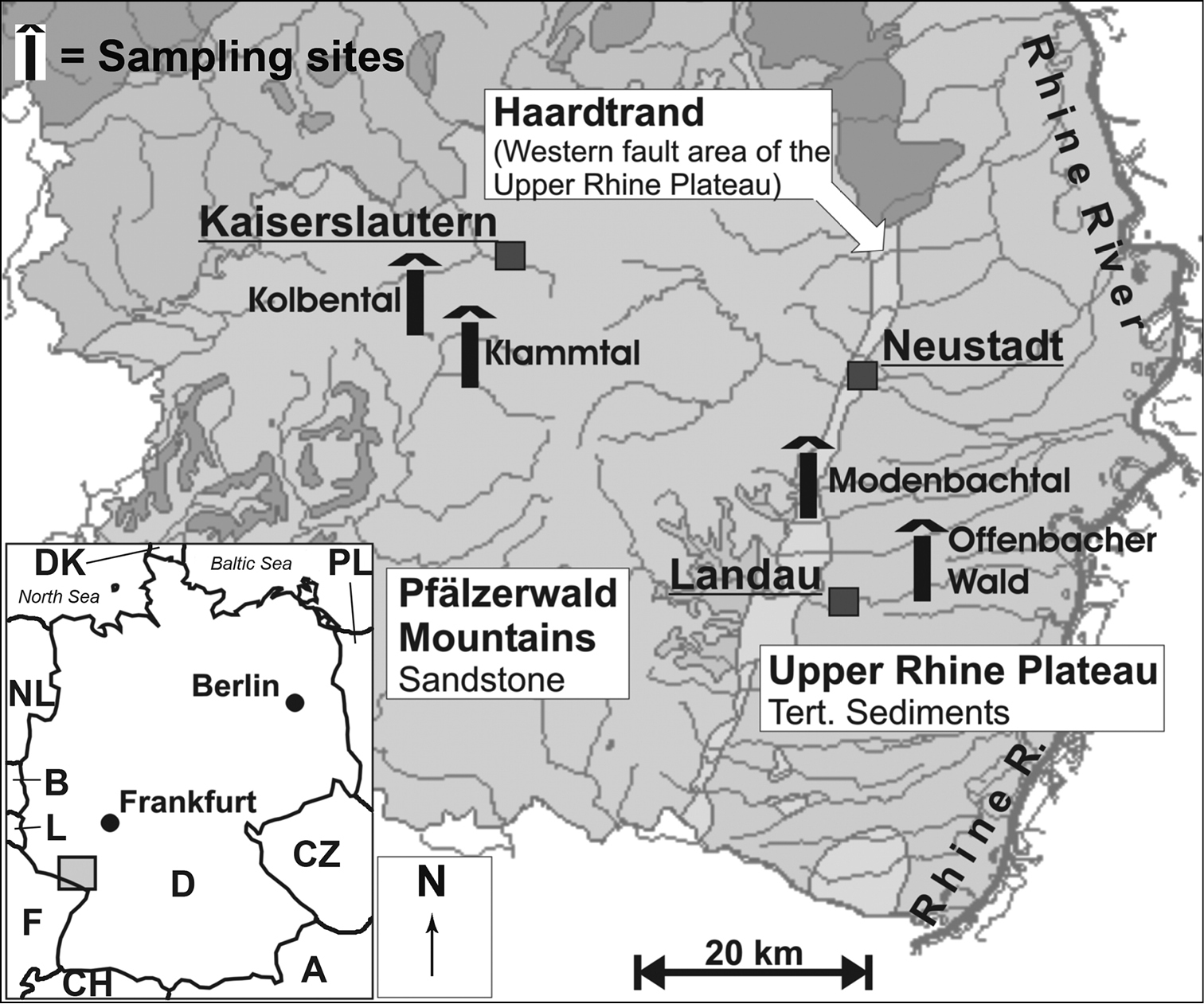
Map of the study area (from Hahn 2006, modified). All sites were equipped with 4–5 trans-sectional groundwater wells. Boxes: The respective natural regions [Pfälzerwald Mountains = Central Uplands; Haardtrand and the Upper Rhine Plateau = South-Western Uplands (according to Stein et al. 2012)]. Abbreviations on overview map: A = Austria, B = Belgium, CH = Switzerland, CZ = Czech Republic, D = Germany, DK = Denmark, F = France, L = Luxembourg, NL = Netherlands, PL = Poland. |